| First, we show some photos before take off to get an idea about the plane and the services of Apple Valley Aviation (incl. some memories). | ||
 |
 |
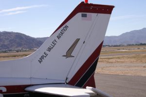 |
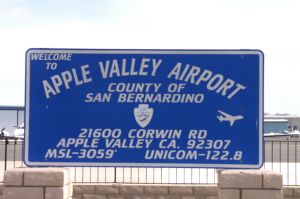
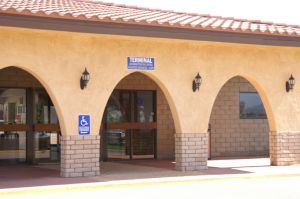
| Welcome to a special high desert airport - 4163 | Apple Valley Airport Terminal - 4164 | Apple Valley Aviation - 4162 |
 |
 |
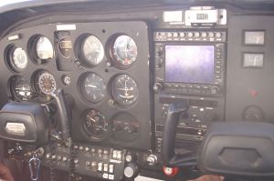 |
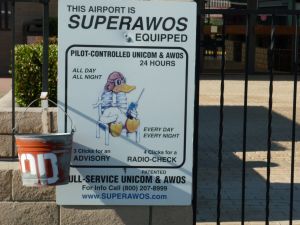
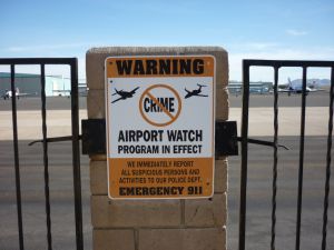
| MM Hi-Tech Airport - 6682 | MM - Warning sign at the airport - 6700 | Cockpit of our Cessna 172 - 4002 |
 |
 |
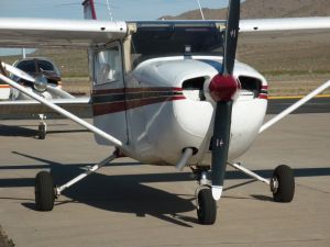 |
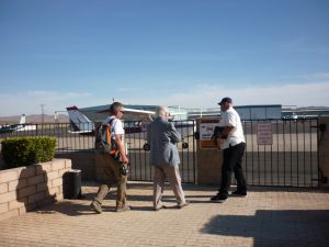
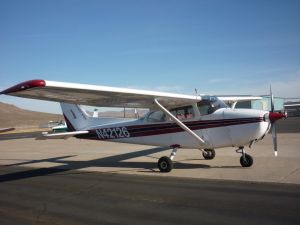
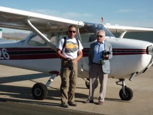
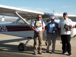
| MM SW, WM and Joe are going to the palne - 6668 | MM High wings are perfect for taking pict. - 6669 | MM Our Cessna 172 is ready - 6678 |
 |
 |
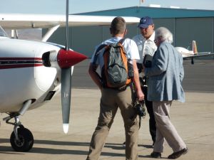 |
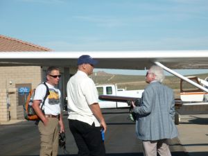
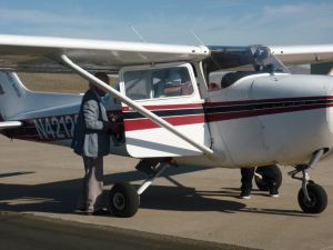
| MM Stefan and Werner - 6670 | MM - and Joe, our Pilot - 6671 | MM What do we need to know? - 6672 |
 |
 |
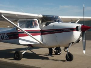 |
| MM Last instructions - 6677 | MM Entering the plane - 6686 | MM Closing the door - 6688 |
 |
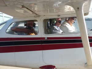 |
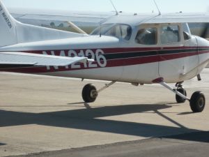 |
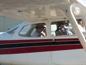
| MM Waving before departure - 6693 | MM Stefan is already taking a movie - 6694 | MM Ready for take off - 6699 |
| Finally,
we are ready for take off. As mentioned above, we fly first to Victorville
to join the BNSF tracks and follow the tracks to Cajon Pass. Sorry, no trains between Summit and Blue Cut while flying down the Pass ! ! |
||
 |
 |
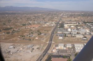 |
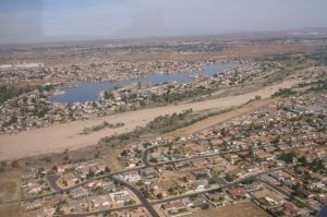
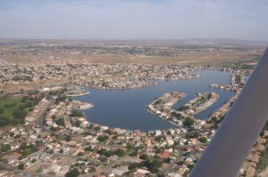
| Victorville - Spring Valley Lake - 4005 | It is actually a man made lake - 4006 | Bear Valley Road bridge over BNSF tracks - 4007 |
 |
 |
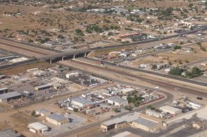 |
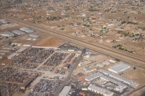
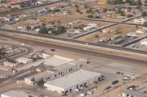
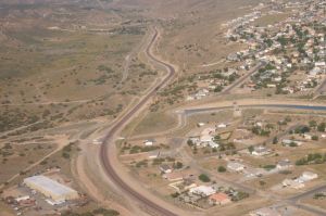
| Hesperia (below Santa Fe Ave.) - 4008 | Hesperia Rd w/Molly Browns Rest. at right - 4009 | Hesperia - Main Street bridge - 4010 |
 |
 |
 |
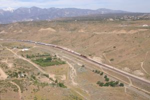
| We are just above
Hesperia Airport. California Aquaduct from right side - 4011 |
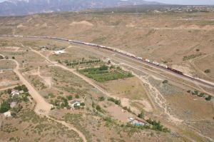
First trains at
Lugo. A BNSF EB DBS is passing another EB DBS at Lugo siding - 4015 |
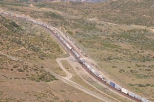
From Lugo we have
just double track up to Barstow. From here, toward Cajon we have triple track - 4016 |
 |
 |
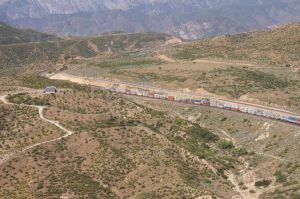 |
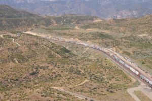
| This DBS train is still waiting in the siding - 4020 | Martinez siding is just East of Summit 4021 | Around the corner is Summit - 4022 |
 |
 |
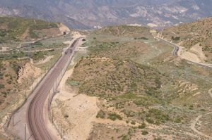 |
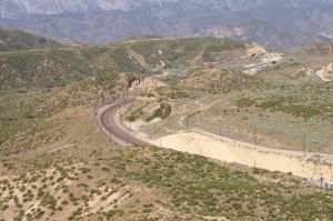
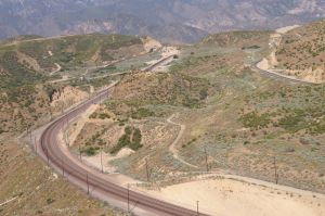
| From Martinez to Summit - 4023 | Summit curve - 4024 | From left: Hwy 138, BNSF 3-2-1, UPT - 4025 |
 |
 |
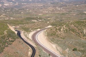 |
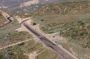
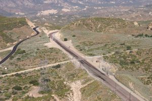
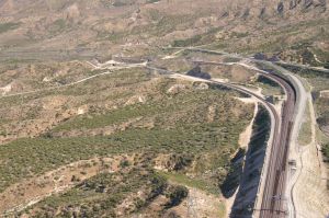
| Close up of Summit w/security guard - 4026 | Hwy 138 was recently paved - 4027 | Summit Overlook from Hwy 138 - 4028 |
 |
 |
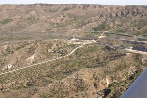 |
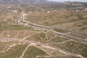
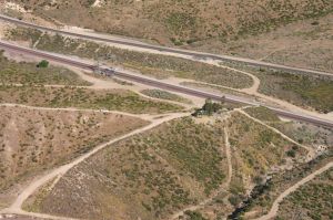
| From Summit to Silverwood - 4029 | WSI and Silverwood connector to UPT - 4030 | Silverwood w/Powerline Road - 4031 |
 |
 |
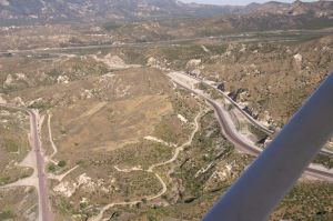 |
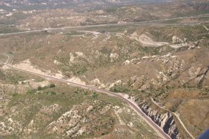
| Hill 582 in the middle - 4032 | Close up of Hill 582 - 4033 | From left: BNSF MT-3, MT-2/-1 and UPT - 4034 |
 |
 |
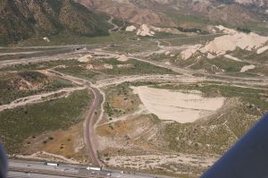 |
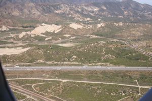
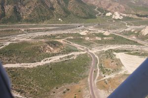
| BNSF MT-3 (former Gish siding) I-15 above - 4035 | I-15, CP Walker at right, Mormon Rocks - 4037 | Mormon Rocks overview - 4038 |
 |
 |
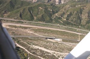 |
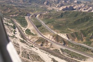
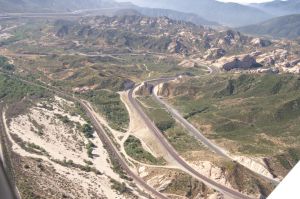
| BNSF MT-3, MT-2/-1 and UPT - 4039 | MT-3 in foreground and MT-2/-1 w/Hwy 138 - 4040 | BNSF MT-2 pass under Hwy 138 - 4041 |
 |
 |
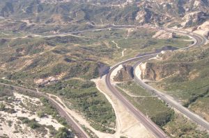 |
| Pine Lodge, below Hwy 138 - 4042 | From left: BNSF MT-3, MT-2/-1, UPT - 4043 | Sullivan's Curve at right - 4044 |
 |
 |
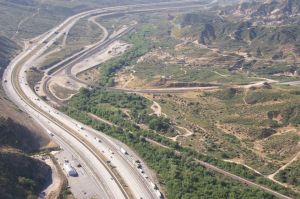 |
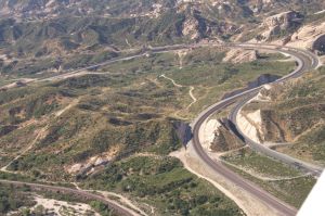
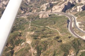
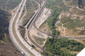
| Sullivan's Curve - 4045 | Sullivan's Curve w/Rock formations - 4047 | I-15, Cajon Station overview - 4046 |
 |
 |
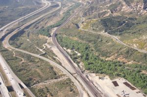 |
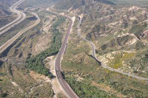
| I-15 w/Gleghorn Exit to Route 66 - 4048 | Cajon Station close up - 4049 | Route 66 heading West - 4050 |
 |
 |
 |
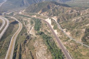
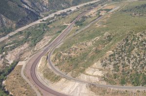
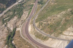
| I-15, Route 66, BNSF tracks, UPT - 4051 | Soon, we will reach SWC X-ing - 4052 | SWC Road exit from Rt 66 before the curve - 4053 |
 |
 |
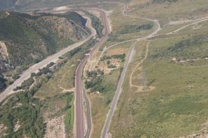 |
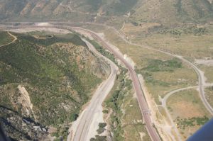
| After the curve is the SWC RR X-ing - 4054 | SWC road had to be moved because of 3MT - 4055 | Looking toward Blue Cut - 4056 |
 |
 |
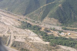 |
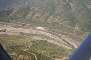
| SWC is also crossing the UPT at right - 4058 | Blue Cut: Rt 66, Creek, BNSF tracks, UPT - 4059 | Keenbrook (last photo of downhill flight) - 4060 |
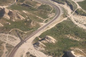
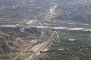
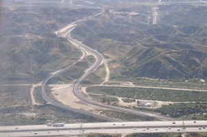
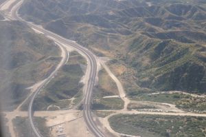
| Now, we fly back uphill and hope for a train. But there was once again not a single train until Hesperia. Nevertheless, our main reason for taking photos was because of the finished Third Main Track (3MT) construction of BNSF. Between 2007 and 2008 a lot of things changed in the pass. Even the 2 tunnels were daylighted, addtl. bridges and right of way was built. Take a look at our detailed 3MT construction photos on our Cajon Pass main page. | ||
 |
 |
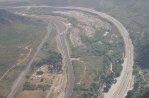 |
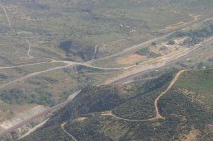
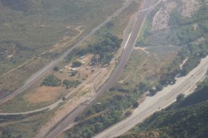
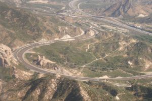
| SWC road X-ing of UPT. SWC is always nice to use for taking photos as UPT is higher than BNSF - 4062 | Actually the service road along the UPT (North) is a Forest Service road and can be used - 4063 | Rt 66 (Cajon Blvd.) makes a left curve. On the left side (top) is the SWC exit visible - 4064 |
 |
 |
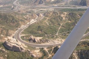 |
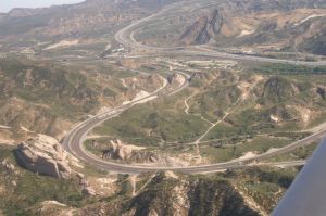
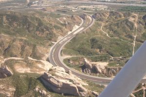
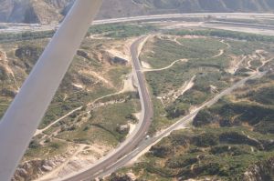
| Sullivan's Curve seen from the back - 4065 | The 3MT was built along the North track - 4066 | So, rocks inside the curve had to be removed - 4067 |
 |
 |
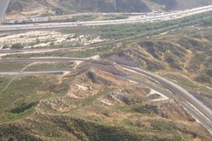 |
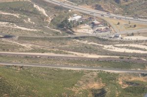
| The famous rocks at left were untouched - 4068 | BNSF MT-1/-2 coming from Cajon Station - 4069 | UPT, BNSF MT-1/-2, MT-3, I-15 w/McDo - 4070 |
 |
 |
 |
| Best Western at the corner of I-15 & Hwy 138 - 4071 | BNSF MT-3 under Hwy 138 bridge - 4072 | BNSF MT-3 goes under I-15 - 4075 |
 |
 |
 |
| Mormon Rocks w/bridge of Cajon Creek - 4073 | Mormon Rocks BNSF MT-1 and MT-2 - 4074 | Davis Ranch Road and CP Walker - 4076 |
 |
 |
 |
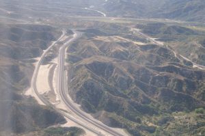
| CP Walker, I-15, Alray looking East - 4077 | I-15, Alray, former Tunnel area, looking East - 4079 | Alray UPT, BNSF MT-1/-2 Baldy Mesa Road - 4080 |
 |
 |
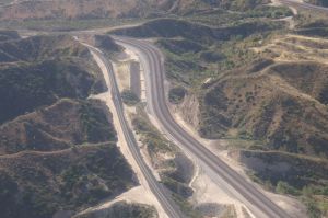 |
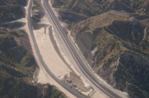
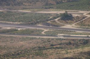
| Former Tunnel area MT-1/-2 and UPT (left) - 4081 | Former Tunnel 1 shotcrete retaining wall - 4082 | Former Tunnel 1 area looking East - 4083 |
 |
 |
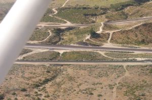 |
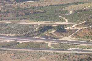
| Hill 582 looking South - 4084 | UPT, BNSF MT-1/-2, Hill 582, MT-3 - 4085 | Dirt road in the middle coming from Hwy 138 - 4086 |
 |
 |
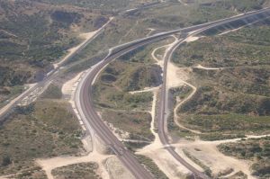 |
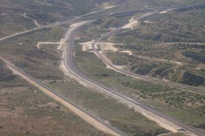
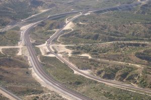
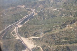
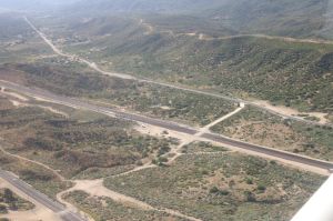
| From left: UPT, BNSF MT-1/-2, MT-3 w/Powerline Road coming from Hwy 138 - 4087 | From Powerline Road take a left before MT-3, go uphill and left, there is a nice overlook - 4088 | Silverwood Connector between UPT and BNSF MT-1 for UP trains to Daggett - 4089 |
 |
 |
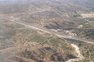 |
| WSI in the middle, Summit curve to the left - 4090 | UPT Hiland, BNSF Summit, Hwy 138 - 4091 | Martinez Spur w/Summit Valley Road - 4092 |
 |
 |
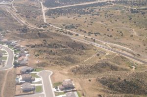 |
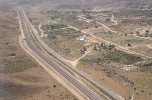
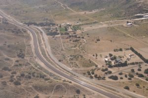
| Triple track ends here at Lugo - 4093 | Hesperia - Lugo looking East - 4096 | More houses are being built North of tracks - 4097 |
 |
 |
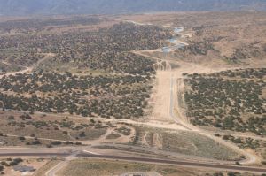 |
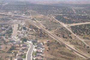
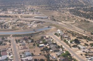
| Hesperia Airport at left corner - 4098 | California Aquaduct goes below the tracks - 4099 | in a short tunnel and will open West of it - 4100 |
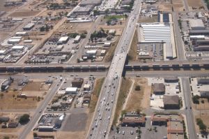
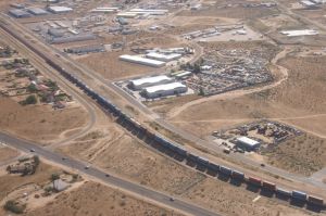
| We have seen this EB BNSF Double Stack train approx. 45 Min. ago when we were flying westward over Martinez siding. This one was already waiting in the siding while the other BNSF EB Double Stack train was rolling towards Barstow. You may check photos 4015 - 4022. It is really the same train having 4 BNSF diesels, followed by the very same double stack car consist (we double checked). | ||
 |
 |
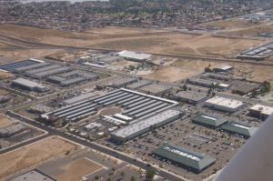 |
| Hesperia Main Street w/DBS train EB - 4101 | After all, we got a train (see above) - 4102 | The industry in Hesperia is alive - 4103 |
 |
 |
 |
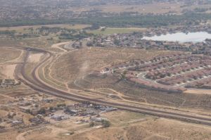
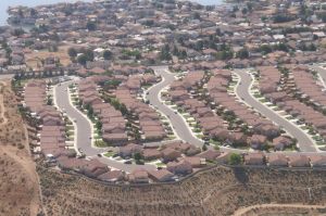
| Victorville, at left is the flyover - Frost - 4105 | New houses between tracks & Ridgecrest Rd 4107 | 2 trains crossing over each other would be great 4106 |
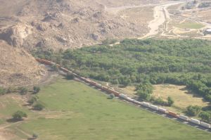
| As the speed of the plane is actually too fast compared to the EB DBS train, we are planning to fly a circle to catch it at the crossover and fly further down. But, oh wonder, there is a WB DBS train coming thru the Victorville Narrows. We are speculating to see 2 trains at the flyover. | ||
 |
 |
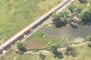 |
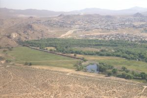
| BNSF WB DBS pass Victorville Narrows - 4108 | Here we start our waiting circle - 4111 | This land belongs to Kemper Campbell Ranch - 4112 |
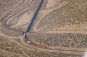
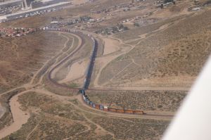
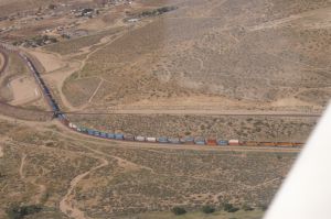
| As
we finally got a train, don't be surprised to see plenty photos of this
BNSF EB Double Stack Train. As we continue our circle, we do have a chance
to see this train from different angles even at the flyover. It sure makes
a lot of fun ! ! Well, our dream with 2 trains at the flyover did not fulfil because the WB train was still waiting at the Frost signal. |
||
 |
 |
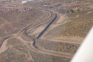 |
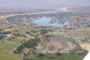
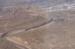
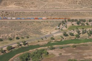
| We see the Spring Valley Lake from the East - 4113 | Here comes our EB DBS train - 4114 | Our BNSF train pass under the Flyover - 4116 |
 |
 |
 |
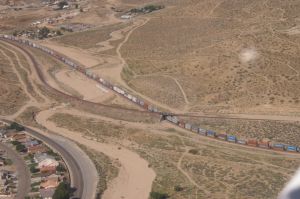
| Here we go toward KCR and Victorville - 4117 | Same location - 4118 | We are flying against train direction - 4119 |
 |
 |
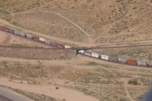 |
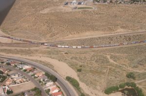
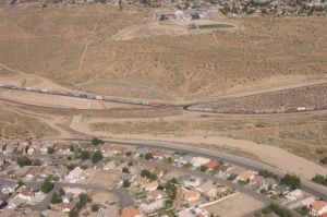
| Mojave Narrows Regional Park in front - 4120 | DBS cars are still rolling under the flyover - 4121 | Take a closer look - 4122 |
 |
 |
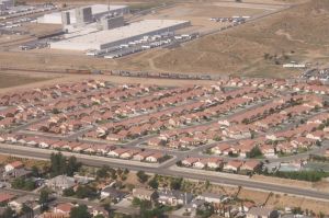 |
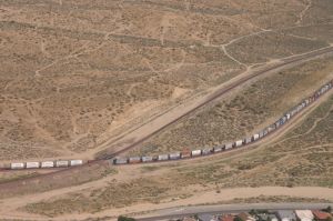
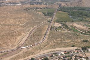
| And another view - 4123 | What can I say? - 4124 | DPU's at the rear end - 4125 |
 |
 |
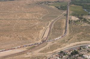 |
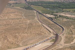
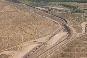
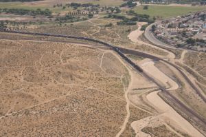
| Thanks to digital photography - 4126 | we can take as many pictures as we want - 4127 | The engines did already pass the Narrows - 4128 |
 |
 |
 |
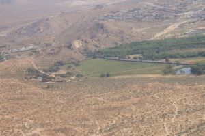
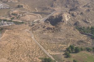
| Our circle continues and we will soon fly the - 4129 | same direction like the EB train - 4130 | 2 DPU's mark the end of the train - 4131 |
 |
 |
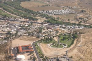 |
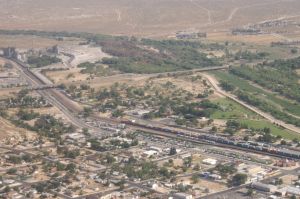
| The WB train is still standing at Frost signal - 4132 | Out EB train is passing the Narrows - 4133 | and entering Victorville's Amtrak station - 4135 |
 |
 |
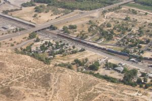 |
| Old part of Victorville w/Route 66 - 4136 | Close up of Amtrak Depot - 4137 | Our EB train did almost reach I-15 - 4138 |
 |
 |
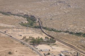 |
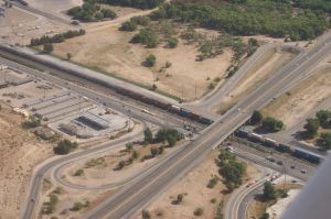
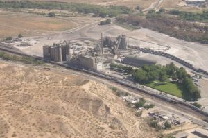
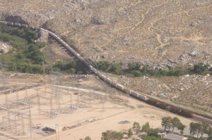
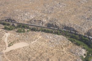
| Detail I-15 overpass w/EB train - 4139 | Our train will soon pass the Cemex plant - 4140 | Another WB DBS train is waiting here - 4141 |
 |
 |
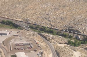 |
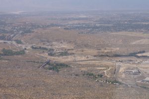
| East Victorville with Mojave River bridges - 4143 | Nobody knows why there is a WB lineup - 4144 | Route 66 bridge over Mojave River - 4145 |
 |
 |
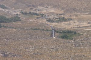 |
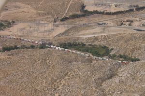
| Looking North toward Oro Grande - 4146 | We made a U-turn and look South - 4148 | WB train still on hold - 4149 |
 |
 |
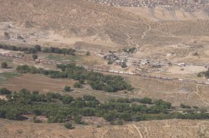 |
| Our EB train is passing the WB train - 4150 | Last photo of our EB train - 4151 | WB train is still waiting - 4152 |
 |
 |
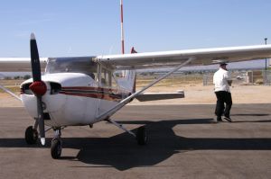 |
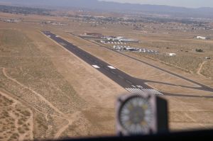
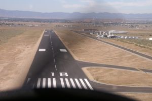
| Coming back to Apple Valley Airport - 4157 | Final approach and happy landing - 4158 | Back on the ground and our pilot walks away - 4161 |
| Well, our journey is over. It was a great experience to see the "world" actually Cajon Pass from the air. A big thank you to our fantastic Pilot "Joe" and to Apple Valley Aviation for their excellent service. We think to try our luck with more trains again in Summer 2011 (hopefully). | ||