

| TRAINMASTER
BY WERNER MEER US-RAILROAD-SHOP KILCHBERG HOCHWEIDSTRASSE 3 CH-8802 KILCHBERG (ZÜRICH) SWITZERLAND (founded 1977) PHONE *41-44-715-3666, FAX *41-44-715-3660, E-MAIL trainmaster@bluewin.ch Go back to our Website - click here |
Updated: October 3, 2013
| Cajon Pass Photo
Collection June 27, 2011 |
| by Werner Meer (Switzerland) |
| Day 6 - SIX - 359 Photos |
Route 66 - Cajon Blvd. - SWC Hill 582 (third visit) BNSF Summit Cut high above between Summit and Cleghorn Road Sullivans Curve Overlook |


| This time, I took photos (5550) from these locations: Summit, Silverwood, WSI,
Hill 582, Alray
(former Tunnel area), Mormon Rocks, Stein's Hill, around Highway 138, Sullivan's Curve,
Cajon Station, old Route 66 (Cajon Blvd.), Swarthout Canyon Road and finally
Palm Ave. Crossing. As I went to several overlooks high above, I was trying to
take photos from far away. Not every photo was good because of the long distance,
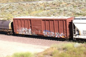
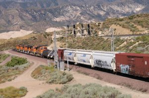
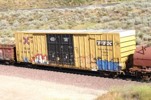
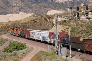
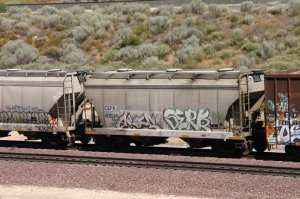
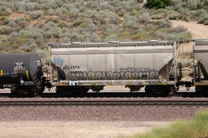
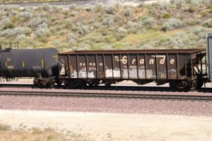
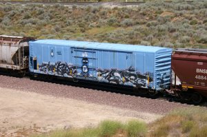
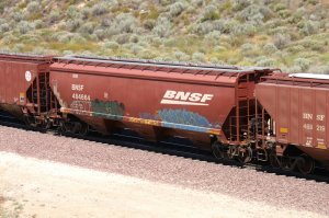
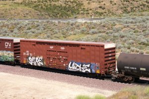
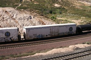
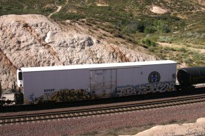
haze and the heavy wind. Please note: As a train does not only exist of the locos but all the cars, I made plenty photos of the different cars (incl. graffiti). |
| Abbreviations found on this page: EB = East Bound, NB = North Bound,
SB = South
Bound, WB = West Bound, MT-1 = BNSF Main 1, MT-2 = BNSF Main 2, MT-3 = BNSF Main 3, UPT = Union Pacific Track, MP = Mile Post, DBS = Double Stack Train, IM = Intermodal Train, DRR = Davies Ranch Road, SWC = Swarthout Canyon Road Crossing, WSI = West Summit Island, EOT = End of Train |
For bigger size photos - please click on the
5-digit number below each photo.
Each album covers a full day. Therefore, you may see the same location on
several albums but on different days.
Route 66 - Cajon Blvd. - SWC
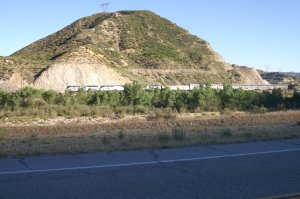
| My daily procedure in using Route 66 was again successful. As I was driving pass Blue Cut I was looking to the left at SWC and could see the delayed Amtrak train. I stopped on the side and started to shoot the engines across Cajon Creek from Route 66. They just passed the Swarthout Canyon Road Crossing at 07.02 h (15 pics) | ||
 |
 |
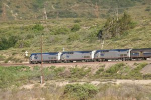 |
| WM 6/27/11 Amtrak WB - 21212 | 21214 | there are 3 GE diesels - 21215 |
 |
 |
 |
| 21216 | Superliner cars - 21217 | 21218 |
 |
||
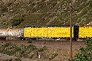
| After the Amtrak train passed, I wanted to continue my journey upbill. But a freight train came and I decided to drive down Swarthout Canyon Road. Once again, I was too late and the UP locos made it already round the curve to SWC. Anyway, I was able to shoot some freight cars. | ||
 |
||
 |
 |
 |
| 21221 | 21222 | 21223 |
 |
||
 |
 |
 |
| 21225 | 21226 | last photo of this location - 21227 |
Hill 582 (visit no. 3)
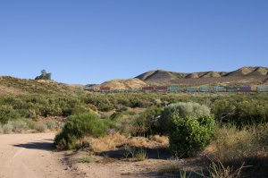
| My
third visit to Hill 582 during this trip. While driving from Hwy 138 toward
the Hill, I already saw a WB from the distance. Afterwards, I drove up to
the
Hill. I got 9 trains within 5 hours. (153 photos) |
||
 |
 |
 |
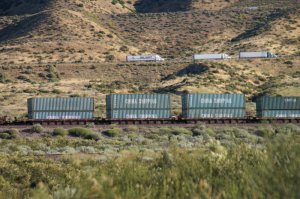
| 6/27/11 first train at 07.21 h - 21228 | Hill 582 at left - 21229 | the best place to be in Cajon - 21230 |
 |
 |
 |
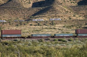
| uphill traffic on I-15 above the train - 21231 | last photo of Train 1 - 21232 | BNSF WB at 07.47 h seen from the Hill - 21233 |
 |
 |
 |
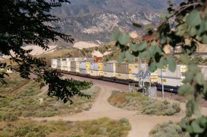
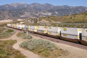
| BNSF WB Train 2 - 21234 | 21235 | 21236 |
 |
 |
 |
| seen between the trees of the Hill - 21237 | 21238 | 21239 |
 |
 |
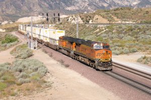 |
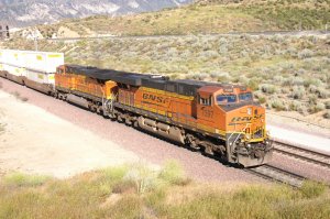
| BNSF 7315 = GEES44DC - 21240 | BNSF 7397 = GE ES44DC - 21241 | EOT 2 - 21242 |
 |
 |
 |
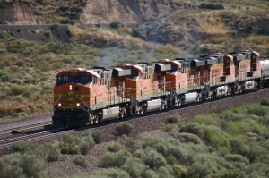
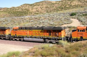
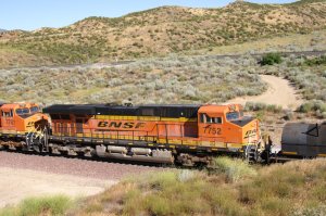
| BNSF WB (Tarin 3) at 08.09 h - 21243 | 21244 | 21245 |
 |
 |
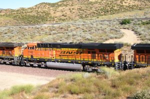 |
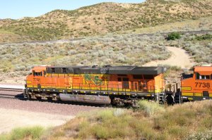
| BNSF 7741 = GE ES44DC - 21246 | BNSF 7738 = GE ES44DC - 21247 | BNSF 7745 = GE ES44DC - 21248 |
 |
 |
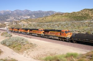 |
| BNSF 7781 = GE ES44DC - 21249 | BNSF 7752 = GE ES44DC - 21250 | 21251 |
 |
 |
 |
| 21252 | 21253 | 21254 |
 |
 |
 |
| 21255 | 21256 | 21257 |
 |
 |
 |
| 21258 | 21259 | 21260 |
 |
 |
 |
| 21261 | 21262 | 21263 |
 |
 |
 |
| 21264 | 21265 | 21266 |
 |
||
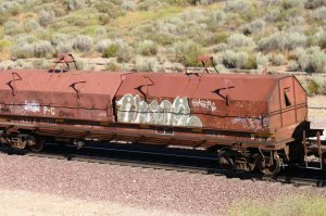
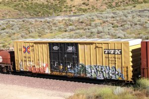
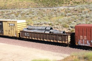
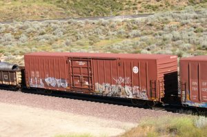
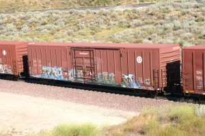
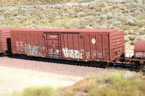
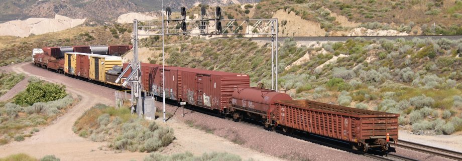
| End of Train 3 BNSF WB manifest (mixed freight) at 08.12 h | ||
 |
 |
 |
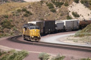
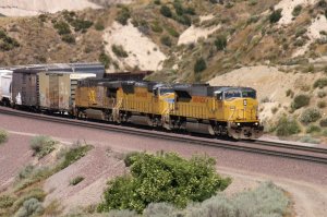
| UP EB on MT-1 (Train 4) at 9.18 h - 21268 | 21269 | 21270 |
 |
 |
 |
| 21271 | 21272 | UP 8188 = EMD SD9043AC - 21273 |
 |
 |
 |
| 30001 | 30002 | 30003 |
 |
 |
 |
| 30004 | 30005 | 30006 |
 |
 |
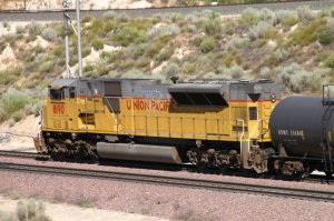 |
| 30007 | 30008 | DPU same type like leading unit - 30009 |
 |
 |
 |
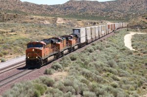
| UP 8190 = EMD SD9043AC - 30010 | 30011 | EOT 4 - 30012 |
 |
 |
 |
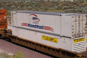
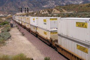
| BNSF WB (Train 5) at 10.16 h 30013 | 30014 | 30015 |
 |
 |
 |
| 30017 | 30018 | 30019 |
 |
 |
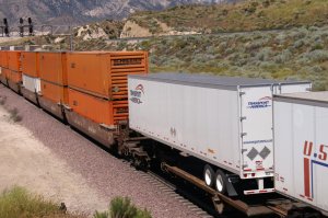 |
| 30020 | 30021 | after the containers are trailers - 30022 |
 |
 |
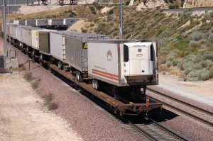 |
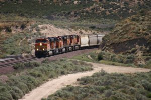
| Swift trailer has wind deflectors - 30023 | 30024 | EOT 5 - 30025 |
 |
 |
 |
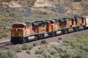
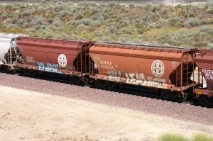
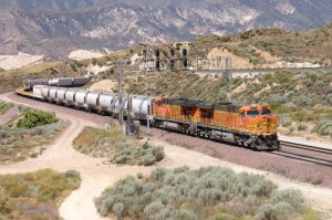
| BNSF WB (Train 6) at 10.30 h - 30026 | 30027 | BNSF 7717 = GE ES44DC - 30028 |
 |
 |
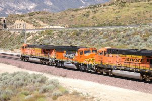 |
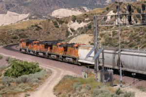
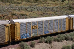
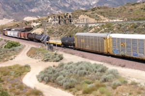
| BNSF 121 = EMD GP60M - 30029 | heavy graffiti on a shiny loco - 30030 | 30031 |
 |
 |
 |
| 30032 | 30033 | 30034 |
 |
 |
 |
| 30035 | 30036 | 30037 |
 |
 |
 |
| 30038 | 30039 | 30041 |
 |
 |
 |
| 30042 | 30043 | 30045 |
 |
 |
 |
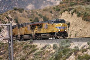
| 30044 | DPU's - 30046 | EOT 6 - 30047 |
 |
 |
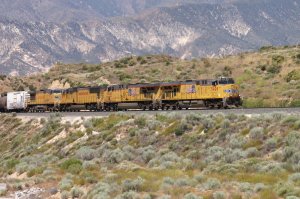 |
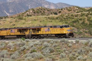
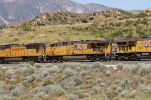
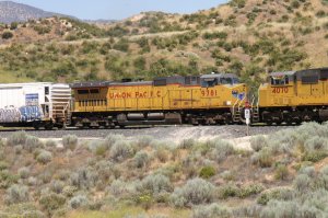
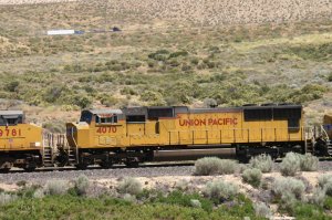
| UP NB on UPT (Train 7) at 10.42 h - 30048 | 30049 | 30050 |
 |
 |
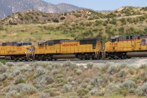 |
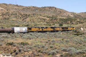
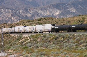
| UP 5428 = GE C45ACCTE - 30051 | UP 5538 = GE C45ACCTE - 30052 | UP 4070 = EMD SD70M - 30053 |
 |
 |
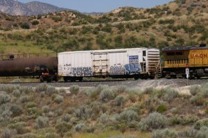 |
| UP 9781 = GE C44-9 ex. CNW - 30054 | 30056 | 30055 |
 |
 |
 |
| 30058 | 30057 | 30059 |
 |
 |
 |
| 30060 | 30061 | 30062 |
 |
 |
 |
| 30063 | 30064 | 30065 |
 |
 |
 |
| 30066 | 30067 | 30068 |
 |
 |
 |
| 30069 | 30070 | 30071 |
 |
||
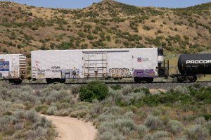
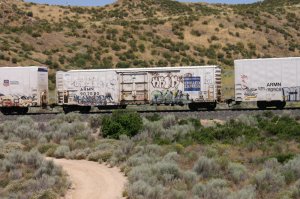
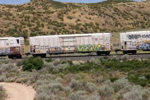
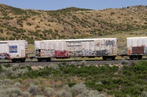
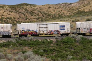
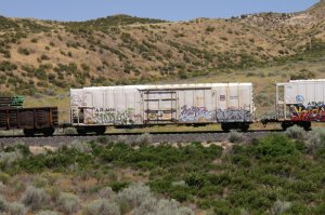
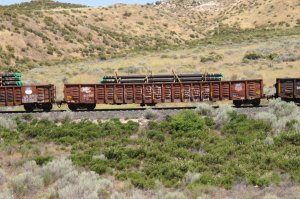
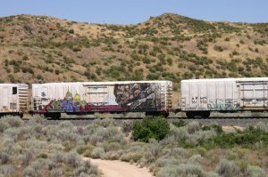
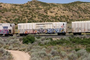
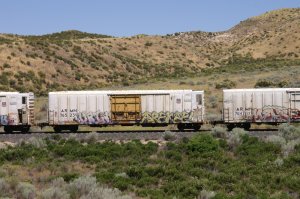
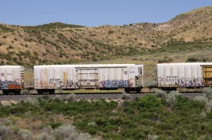
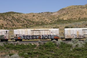
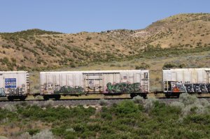
| Outstanding Graffiti or Airbrush with the huge monkey drinking water. I call it: best of show !! | ||
 |
 |
 |
| 30073 | 30074 | 30075 |
 |
 |
 |
| 30076 | 30077 | 30078 |
 |
 |
 |
| 30079 | 30080 | 30081 |
 |
 |
 |
| 30082 | 30083 | 30084 |
 |
 |
 |
| 30086 | 30087 | 30088 |
 |
 |
 |
| 30089 | 30090 | end of train 7 - 30091 |
 |
||
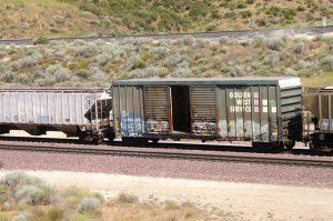
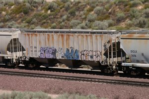
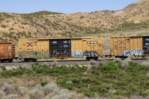
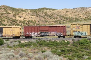
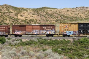
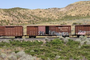
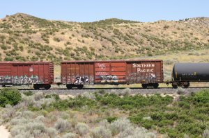
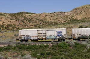
| I think this was the train with the most graffities and therefore, I took 44 photos to show some of the best. | ||
 |
 |
 |
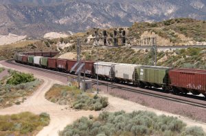
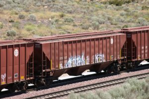
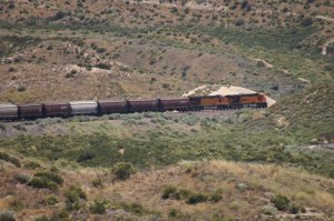
| BNSF EB (Train 8) at 11.37 h - 30093 | empty grain train - 30094 | 30095 |
 |
 |
 |
| BNSF 7747 = GE ES44DC - 30096 | BNSF 7693 = GE ES44DC - 30097 | 30098 |
 |
 |
 |
| Hill 582 signal bridge - 30099 | 30100 | 30101 |
 |
 |
 |
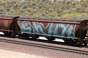
| large graffiti - 30102 | 30103 | last photo of Train 8 - 30104 |
 |
 |
 |
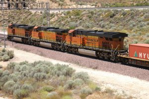
| BNSF WB on MT-2 (Train 9) at 12.13 h - 30105 | BNSF 4032 = GE C44-9W - 30106 | BNSF 4331 = GE AC4400CW - 30107 |
 |
 |
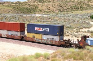 |
| BNSF 7441 = GE ES44DC - 30108 | 30109 | last photo of Train 9 and Hill 582 at 12.15 h - 30110 |
| More and detailed Infos about Hill 582 can be seen here: click here | ||
BNSF Summit Cut
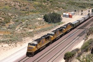
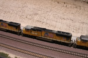
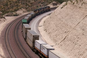
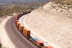
| Next stop is Summit from Highway 138 above the Summit cut overlook. (12 pics) | ||
 |
 |
 |
| 6/27/13 UP WB DBS at 12.39 h - 30111 | - 30112 | UP 5069 = EMD SD70M flared radiator - 30113 |
 |
 |
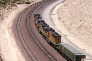 |
| UP 4885 = EMD SD70M flared radiator - 30114 | UP 4135 = EMD SD70M - 30115 | - 30116 |
 |
 |
 |
| - 30117 | - 30118 | - 30119 |
 |
 |
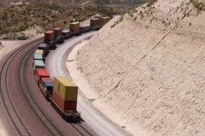 |
| - 30120 | - 30121 | End of train and last photo of Summit - 30122 |
high above between Summit and Cleghorn Road
|
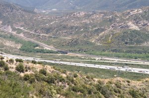
Exploring Cajon Pass from high above using the
road to "heaven" USFS 2N47 from Summit down to Cleghorn road and I-15
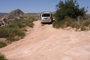
above Cajon Station. This forest service dirt road is also a powerline road.
It is not meant for normal vehicles as my minivan, but for 4 wheel pickup trucks
or SUV's. I still tried my luck and it worked well driving slowly and remove
some rocks from the road to the side. Thanks God my van did not break down
otherwise I would be in trouble without a cell phone. First I drove on top to
the huge platform across Summit to get a first overview. Afterwards a
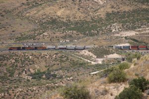
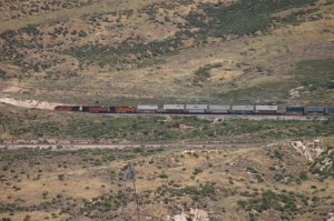
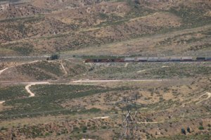
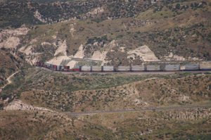
continued down to Cleghorn Rd. and I-15. Please be aware, the quality of these photos is not satisfactory because of haze, wind and long distance, but there is another view from high above. (44 pics) |
||
 |
 |
 |
| WM 6/27/11 UP SB on UPT at 12.53 h - 30123 | UP train with Mormon Rocks - 30124 | Mormon Rocks - 30125 |
 |
 |
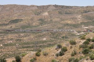 |
| leaving Summit to Silverwood at 12.55 h - 30126 | passing Silverwood - 30127 | between Silverwood and Hill 582 - 30128 |
 |
 |
 |
| 30129 | the train reaches Hill 582 - 30131 | Hill 582 - 30132 |
 |
 |
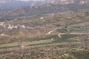 |
| entering former Tunnel area . . - 30133 | . . also called "Alray" - 30134 | overview w/Hill 582 (last photo of this WB) - 30135 |
 |
 |
 |
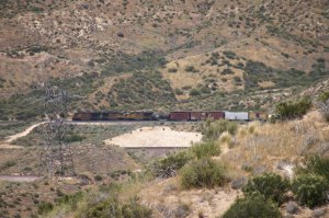
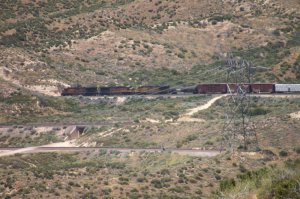
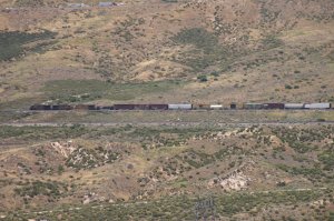
| BNSF EB on MT-3 at 13.04 h - 30138 | it is just below Hill 582 - 30139 | 30140 |
 |
||
| This BNSF EB bare table is between Hill 582 and Silverwood on MT-3. Above is BNSF MT-1 and MT-2 and on top the UP Colton-Palmdale Cutoff. | ||
 |
 |
 |
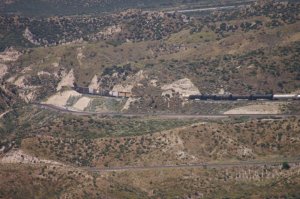
| UP SB on UPT at 13.13 h - 30144 | train is passing USFS 3N45 - 30145 | Silverwood - 30146 |
 |
 |
 |
| UP SB did reach Hill 582 . . - 30149 | . . and is entering former tunnel area - 30150 | last photo of UP train - 30151 |
 |
 |
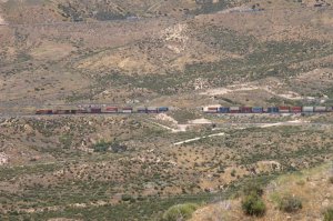 |
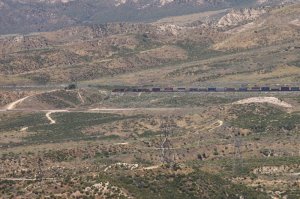
| BNSF WB on MT-2 at 13.20 h - 30153 | Silverwood - 30154 | 30155 |
 |
||
 |
 |
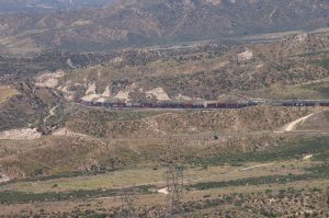 |
| it will pass Hill 582 - 30157 | continue thru former tunnel area - 30158 | last photo of BNSF WB from this location - 30159 |
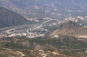
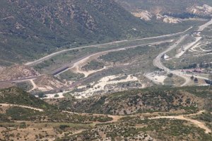
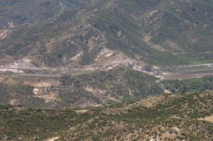
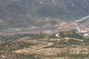
| I continued my exploring of USFS 2N47 toward Cleghorn road. I stopped at another lookout point high above the valley at 13.45 h. | ||
 |
 |
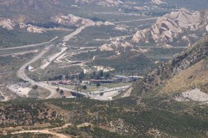 |
| Pine Lodge Area looking North/West - 30165 | Highway 138 in the middle - 30160 | famous Mormon Rocks - 30171 |
 |
 |
 |
| Pine Lodge Area - 30172 | Detail I-15 Exit 131 to Hwy 138 - 30162 | Best Western Motel at right side - 30170 |
 |
 |
 |
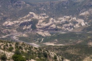
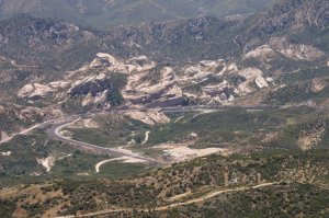
| to the left is Sullivans Curve - 30174 | between Sullivans and Pine Lodge - 30173 | area just across McDonalds - 30169 |
 |
 |
 |
| famous Sullivans Curve looking West - 30167 | named after Herb Sullivan (photographer) - 30175 | unique Rock formations - 30177 |
 |
 |
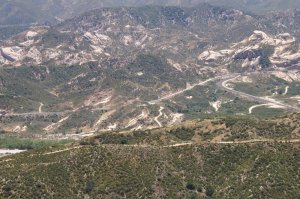 |
| view down to SWC curve looking South - 30182 | between SWC and Sullivans - 30181 | Sullivans Curve at right - 30178 |
| It was interesting to explore USFS 2N47 from Summit down to Cleghorn and I-15 exit. It would be nice to have a high end camera for better photos! | ||
Sullivans Curve Overlook
 |
Cajon Pass How to find Sullivan's Curve and Curve Overlook? Map showing directions by Gary G. Gray click here Updated: 8/02/2011 |
 |
|
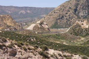
Sullivans Curve close up. After the high above long distance photos of
Sullivans Curve, we are going to the special Sullivans Curve Overlook at
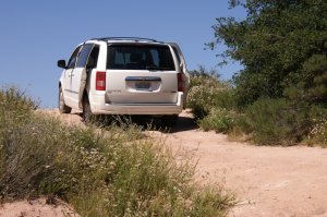
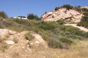
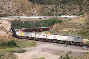
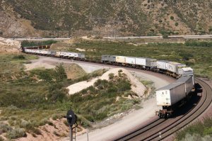
14.53 h Well, who says Minivans are not the right vehicle for railfanning? I sure made it on top of the overlook, even the grade was steep. (135 pics) |
||
 |
 |
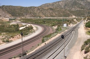 |
| WM 6/27/11 UP left, BNSF 1&2 right - 30184 | special rock formations - 30185 | in the distance is I-15 exit 129 - 30183 |
 |
 |
 |
| view towards I-15 exit 131 - 30186 | I made to the top - 30187 | 30188 |
 |
 |
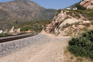 |
| hard to believe to park . . - 30189 | . . the van above the UP track - 30190 | now, I am ready for the first train - 30191 |
 |
 |
 |
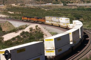
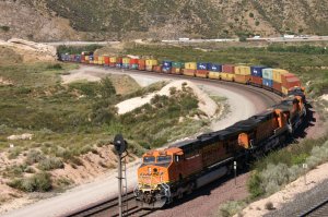
| BNSF WB on MT-2 at 15.42 h - 30192 | train 1 going downhill - 30193 | BNSF 4199 = GE C44-9W - 30194 |
 |
 |
 |
| BNSF 7816 = GE ES44DC - 30195 | BNSF 7367 = GE ES44DC - 30196 | 30197 |
 |
 |
 |
| 30198 | 30199 | 30200 |
 |
 |
 |
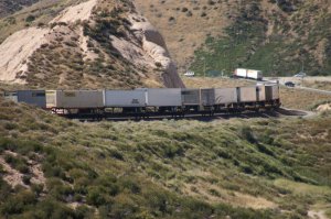
| I-15 is always busy - 30201 | 30202 | 30203 |
 |
 |
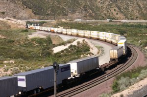 |
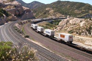
| 30204 | 30205 | after containers we have trailers - 30206 |
 |
 |
 |
| 30207 | 30208 | 30209 |
 |
 |
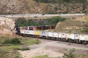 |
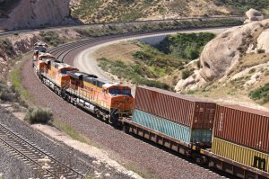
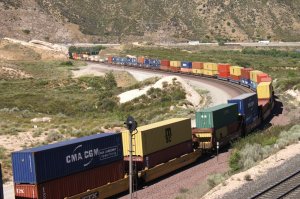
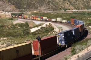
| 30210 | BNSF EB (Train 2) coming round the curve - 30211 | 30212 |
 |
 |
 |
| 30213 | 30214 | EOT-1 - 30215 |
 |
 |
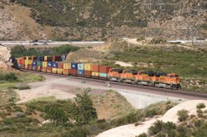 |
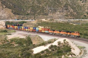
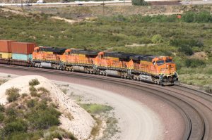
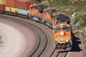
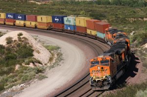
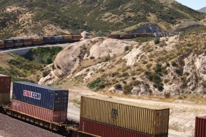
| 30216 | BNSF EB uphill and WB EOT - 30217 | 30218 |
 |
 |
 |
| 30219 | 30220 | 30221 |
 |
 |
 |
| 30222 | 30223 | 30224 |
 |
 |
 |
| BNSF 7769 = GE ES44DC - 30225 | 30226 | 30227 |
 |
 |
 |
| 30228 | 30229 | 30230 |
 |
 |
 |
| 30231 | 30232 | 30233 |
 |
 |
 |
| 30234 | 30235 | 30236 |
 |
 |
 |
| 30237 | 30238 | 30239 |
 |
 |
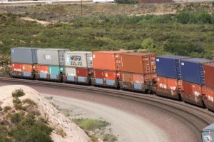 |
| 30240 | on I-15 is a blue Werner truck - 30241 | last photo of Train 2 at 15.52 h - 30243 |
 |
 |
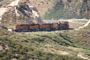 |
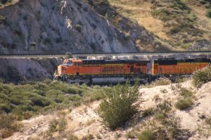
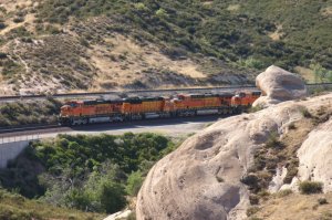
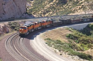
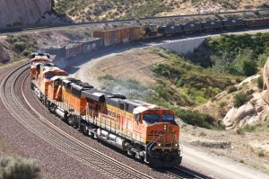
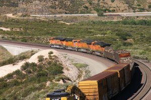
| BNSF WB (Train 3) at 16.13 h - 30244 | 30245 | 30246 |
 |
 |
 |
| 30247 | 30248 | 30249 |
 |
 |
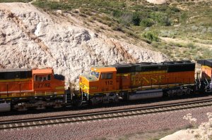 |
| 30250 | 30251 | BNSF 112 = EMD GP60M - 30252 |
 |
 |
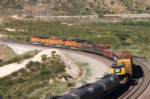 |
| 30253 | 30254 | 30255 |
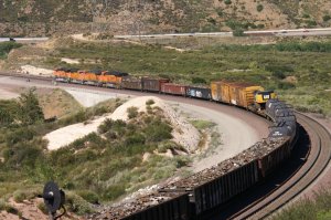 |
 |
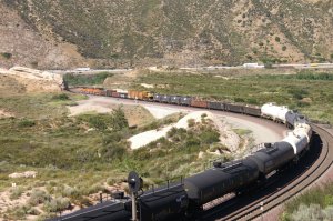 |
| 30256 | 30257 | 30258 |
 |
 |
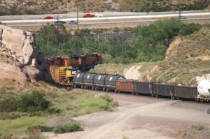 |
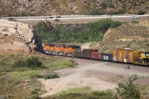
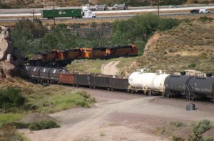
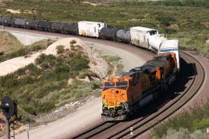
| in the curve, the DPU's show up - 30260 | 30259 | 30261 |
 |
 |
 |
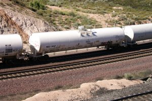
| 30262 | 30263 | 30264 |
 |
 |
 |
| 30265 | 30266 | 30267 |
 |
 |
 |
| 30268 | 30269 | 30270 |
 |
 |
 |
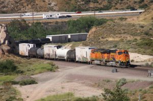
| 30271 | 30272 | 2 helpers are at the rear end - 30273 |
 |
 |
 |
| 30274 | 30275 | 30276 |
 |
 |
 |
| 30278 | 30279 | end of Train 3 at 16.18 h - 30280 |
 |
 |
 |
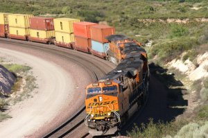
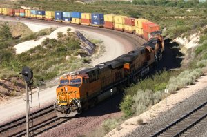
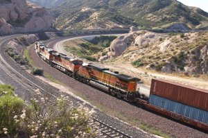
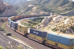
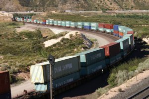
| BNSF EB (Train 4) at 16.56 h - 30282 | this DBS is coming from Cajon Station - 30283 | 30284 |
 |
 |
 |
| 30285 | 30287 | 30288 |
 |
 |
 |
| 30289 | 30290 | 30291 |
 |
 |
 |
| 30292 | 30293 | 30294 |
 |
 |
 |
| 30295 | 30296 | 30297 |
 |
 |
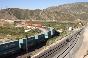 |
| 30298 | 30299 | last photo of Train 4 at 17.02 h - 30300 |
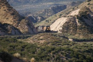
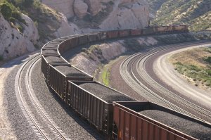
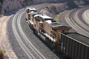
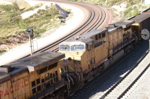
| I was hoping to get a UP train on the Colton-Palmdale Cutoff and finally at 17.09, I can see the locos of a SB coming round the corner in the distance. | ||
 |
 |
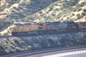 |
| UP SB on UPT (Train 5) at 17.09 - 30301 | we have a UP and a ex. SP loco - 30303 | hazy pic because of backlight - 30304 |
 |
 |
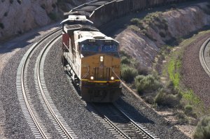 |
| it is a heavy coal train - 30305 | 30306 | 30307 |
 |
 |
 |
| 30308 | 30309 | 30310 |
 |
 |
 |
| 30312 | 30313 | 2 DPU's are visible at the end - 30314 |
 |
 |
 |
| 30315 | the 2 GE helpers pass my lookout - 30316 | 30317 |
 |
 |
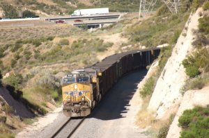 |
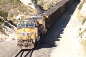
| 30318 | 30319 | last photo of day 6 at 17.14 h - 30320 |
| Day 6 is almost over and time to go for Dinner and to the Motel. Once again, I made some exploring and visited 5 different locations. Lots of photos is the result, even some are not that good because of long distance and haze. Nevertheless, it was another satisfactory day. | ||
Did you see page 1 of 2011?: Day ONE
 |
Cajon Pass -
2011 Day ONE Cleghorn Overlook Hill 582 Highway 138 / Mormon Rocks by Werner Meer June 22, 2011 Updated: 7/28/2011 |
 |
| WM 6/22/11 UP NB on UPT near Hill 582 - 1219 | See all 522 photos - click here | WM 6/22/11 UP SB on UPT (Mormon Rocks) - 1422 |
Did you see page 2 of 2011?: Day TWO
 |
Cajon Pass -
2011 Day TWO Cleghorn Exit Overlook I-15 / Hwy 138 Overlook by Werner Meer June 23, 2011 Updated: 8/15/11 |
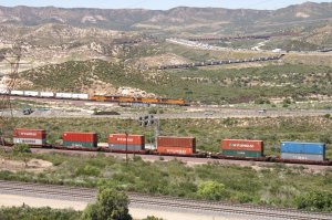 |
| WM 6/23/11 Sullivans Curve from Cleghorn - 1779 | See all 600 photos - click here | WM 6/23/11 3 trains around I-15/Hwy 138 - 11074 |
Did you see page 3 of 2011?: Day THREE
 |
Cajon Pass -
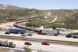
2011 Day THREE Hill 582 Noisy Point / I-15 Overlook / Alray Blue Cut / UP MP 475 by Werner Meer June 24, 2011 Updated: 9/15/13 |
 |
| WM 6/24/11 BNSF EB Noisy Point w/I-15 - 2328 | See all 481 photos - click here | WM 6/24/11 BNSF EB at Blue Cut - 2475 |
Did you see page 4 of 2011?: Day FOUR
 |
Cajon Pass -
2011 Day FOUR High above Summit I-15 Silverwood Overlook Highway 138 / Mormon Rocks by Werner Meer June 25, 2011 Updated: 9/22/13 |
 |
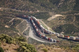
| WM 6/25/11 2 x BNSF EB Silverwood - 2689 | See all 224 photos - click here | WM 6/25/11 64' reefer at Mormon Rocks - 2775 |
Did you see page 5 of 2011?: Day FIVE
 |
Cajon Pass -
2011 Day FIVE Silverwood Summit (North) Silverwood Overlook (South) CP Walker MP 60.2X Highway 138 / Mormon Rocks by Werner Meer June 26, 2011 Updated: 9/28/13 |
 |
| WM 6/26/11 BNSF WB on MT-3 - 21080 | See all 358 photos - click here | WM 6/26/11 Locos at Silverwood - 2849 |
Below are photos taken from the air on
June 2, 2010. Even there was not a single train in the Pass during our flight,
it
still gives an idea about the different locations. We also recommend to see
our 8 diff. maps by Gary Gray (see below).
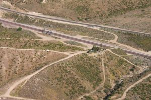 |
Cajon Pass Aerial Photos 2010 by Werner Meer June 2, 2010 Updated: 7/08/2010 |
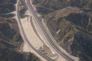 |
| WM 6/02/10 Hill 582, BNSF MT-2/-1, UPT - 4033 | See all 150 photos - click here | WM 6/02/10 Tunnel 1 shotcrete retaining wall - 4082 |
 |
Werner
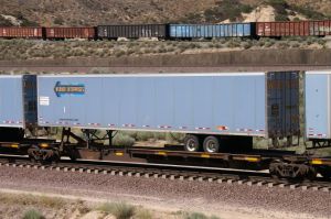
Enterprises Trucking Company WE Trailers are often seen on Flat Cars (TOFC) running over Cajon Pass. In addition, there are photos of WE Trucks on the road and new: take a look at the WE Terminal in Fontana, CA. by Werner Meer most were taken in 10/05, 7/08, 5/10 and 6/11 Updated: 8/01/11 |
 |
| WM 7/05/08 Cajon at Silverwood - 010 | See all 237 photos - click here | WM 10/05 Barstow Truck Stop - 032 |
Here you find some maps and more infos about Cajon Pass and the Tunnels, which are gone:
|
8 different and detailed Maps of Cajon Pass with
captions (Mile Posts and Location) by Gary G. Gray - click
here New 8/11: Maps "How to find" Hill 582, Sullivan's Curve, Noisy Point by Gary G. Gray - click here |
| Accurate Map of Cajon Pass with 3rd Main Track by Michael Amrine - click here |
Simple Maps about Cajon Pass: click
here
Railfan Map of Cajon Pass by Joe Perry: http://www.chasingsteel.com/storage/RailfanMapofCajon%20Pass.pdf
Map of Cajon Area (Inland Empire): http://www.visitcalifornia.de/media/pages/getting_around/maps/INLAND-EMPIRE.pdf
Cajon Pass Map by Wikimapia (easy to enlarge every location): http://wikimapia.org/#lat=34.3223857&lon=-117.4707127&z=14&l=0&m=s&v=9
Here are photos of the 2 tunnels before construction started:
click here
Go back to my Cajon Pass 2011 Photo Collection Main Page -
click here
Go back to Cajon Pass Main Page - click here