

| TRAINMASTER
BY WERNER MEER US-RAILROAD-SHOP KILCHBERG HOCHWEIDSTRASSE 3 CH-8802 KILCHBERG (ZÜRICH) SWITZERLAND (founded 1977) PHONE *41-44-715-3666, FAX *41-44-715-3660, E-MAIL trainmaster@bluewin.ch Go back to our Website - click here |
Updated: September 22, 2013
| Cajon Pass Photo
Collection June 25, 2011 |
| by Werner Meer (Switzerland) |
| Day 4 - FOUR - 224 Photos |
high above Summit I-15 Silverwood Overlook Highway 138 - Mormon Rocks |


| This time, I took photos (5550) from these locations:
Summit, Silverwood, WSI, Hill 582, Alray
(former Tunnel area), Mormon Rocks, Stein's Hill, around Highway 138, Sullivan's Curve,
Cajon Station, old Route 66 (Cajon Blvd.), Swarthout Canyon Road and
finally Palm Ave. Crossing. As I went to several overlooks high above, I was
trying to take photos from far away. Not every photo was good because of the
long distance, haze and the heavy wind. Please note: As a train does not only exist of the locos but all the cars, I made plenty photos of the different cars (incl. graffiti). |
| Abbreviations found on this page: EB = East Bound, NB = North Bound, SB = South Bound, WB = West Bound, MT-1 = BNSF Main 1, MT-2 = BNSF Main 2, MT-3 = BNSF Main 3, UPT = Union Pacific Track, MP = Mile Post, DBS = Double Stack Train, IM = Intermodal Train, DRR = Davies Ranch Road, SWC = Swarthout Canyon Road Crossing, WSI = West Summit Island |
For bigger size photos - please click on the 4-digit number below each photo.
Each album covers a full day. Therefore, you may see the same location on
several albums but on different days.
high above Summit I-15
|
Today, I went to Mason Clark to pick up my HO
scale Joshua Trees. In the afternoon, I drove from Palmdale to Cajon and
started my Cajon exploring from I-15 Summit. Just behind the legendary
Summit Inn starts the dirt road (USFS 3N45) toward Silverwood. The elevation
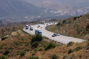
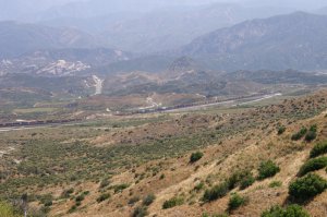
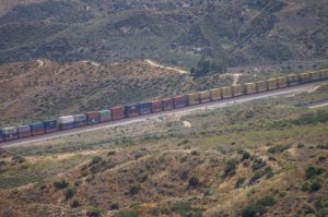
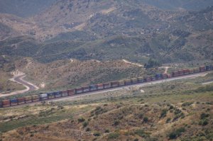
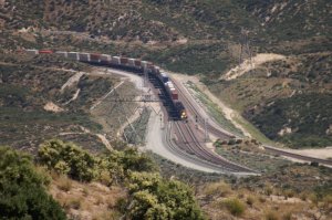
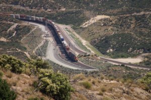
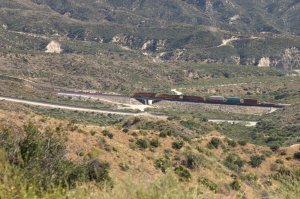
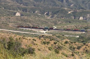
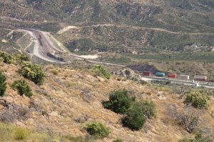
at this location is 4190 feet (1280 m). The quality of the photos is not satisfactory because there is some haze which is getting too much with the tele zoom lense. But nevertheless, it still gives us an idea how it looks from high above. I recommend to click on the 4-digit numer to see the full size photo. We can see the tracks from Hill 582 (right side) up to Silverwood and Summit Curve (left side). We start our journey at 14.50 h. |
||
 |
 |
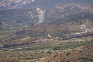 |
| WM 6/25/11 Uphill traffic on I-15 Summit - 2601 | a WB DBS (Train 1) is passing Hill 582 - 2598 | in the center above is Highway 138 - 2600 |
 |
 |
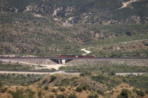 |
| the trees of Hill 582 are hardly visible - 2599 | (S-curve is MT-3) last photo of Train 1 - 2603 | BNSF helpers on MT-3 at Silverwood - 2602 |
 |
 |
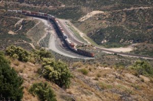 |
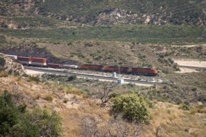
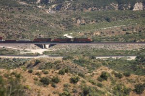
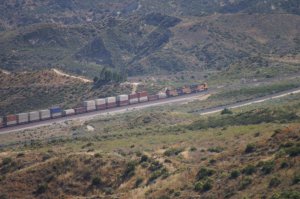
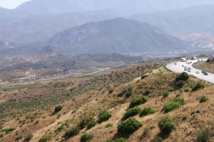
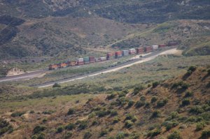
| BNSF WB on MT-2 (Train 2) - 2609 | the engines pass WSI - 2610 | 2611 |
 |
 |
 |
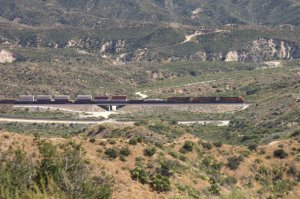
| 2612 | 2613 | 2614 |
 |
 |
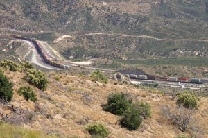 |
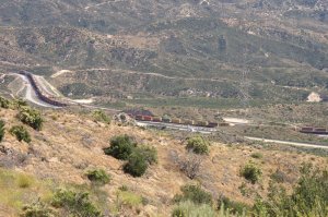
| the locos are crossing USFS 3N45 - 2615 | 2616 | 2617 |
 |
 |
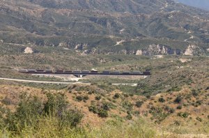 |
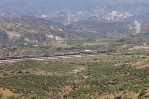
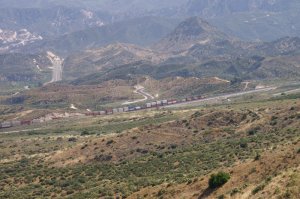
| 2618 | 2619 | 2620 |
 |
 |
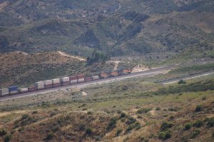 |
| 2621 | 2622 | the locos pass Hill 582 - 2623 |
 |
 |
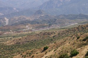 |
| 2624 | 2625 | last photo of train 2 - 2627 |
 |
 |
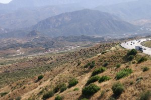 |
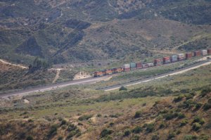
| BNSF EB (Train 3) - 2628 | the locos reach Hill 582 - 2629 | I-15 at right - 2631 |
 |
 |
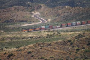 |
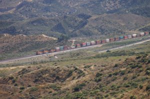
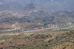
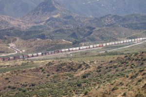
| Hill 582 in the middle - 2632 | 2634 | curved "S" = MT-3 - 2635 |
 |
||
 |
 |
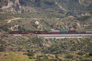 |
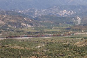
| 2638 | 2639 | 2640 |
 |
||
 |
 |
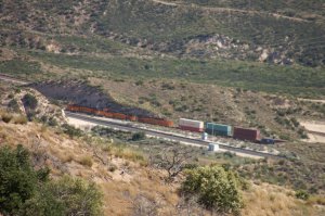 |
| 2642 | 2643 | 2645 |
 |
||
 |
 |
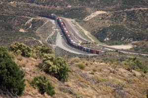 |
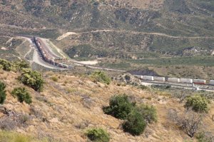
| the engines reach Silverwood - 2647 | 2649 | the engines enter Summit Curve - 2650 |
 |
||
 |
 |
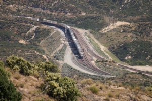 |
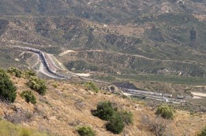
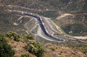
| 2654 | 2655 | end of train 3 - 2656 |
| With
the next activities, I was really lucky because I got 2 BNSF EB trains going
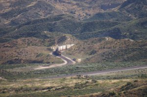
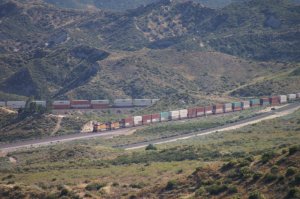
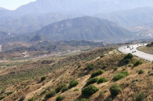
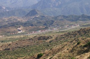
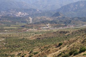
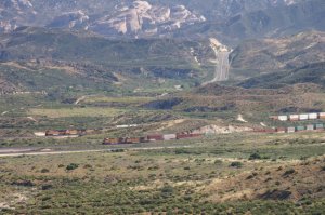
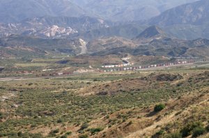
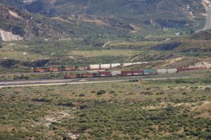
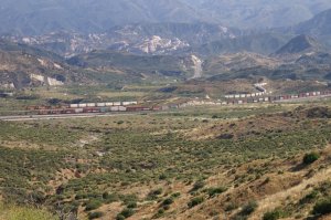
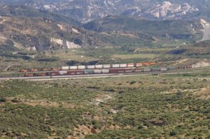
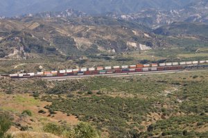
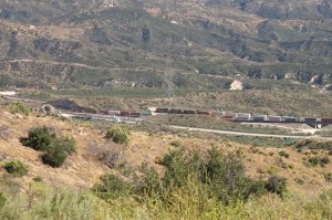
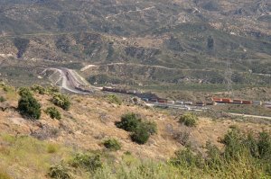
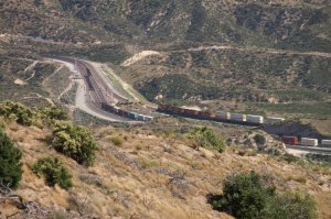
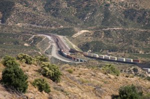
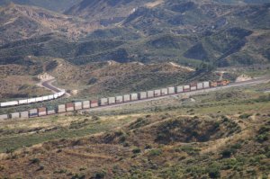
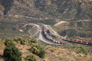
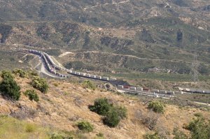
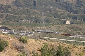
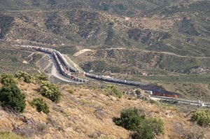
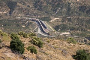
around Hill 582 on MT-3 and MT-1 at the same time ! In other words we will have a parallel race uphill towards Summit. The show started at 16.15 h and ended at 16.26 h with a total of 40 photos. |
||
 |
||
 |
 |
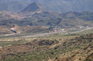 |
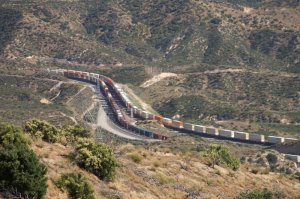
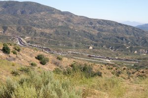
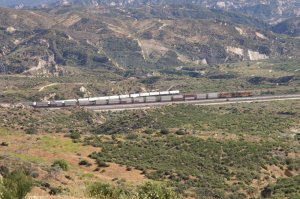
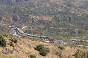
| BNSF EB on MT-3 (Train 4) - 2659 | BNSF EB on MT-1 (Train 5) - 2660 | 2 EB intermodal trains going uphill - 2661 |
 |
||
 |
 |
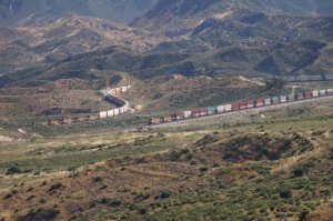 |
| overview incl. I-15 northbound lanes 2663 | 2664 | 2665 |
 |
||
 |
 |
 |
| 2667 | 2668 | 2669 |
 |
||
 |
 |
 |
| 2671 | 2672 | 2673 |
 |
||
 |
||
 |
||
 |
 |
 |
| 2679 | 2680 | 2681 |
 |
 |
 |
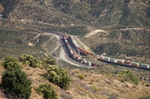
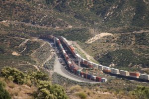
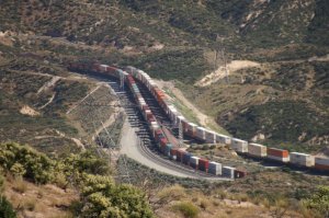
| 2682 | 2683 | both trains are leaving Hill 582 - 2684 |
 |
 |
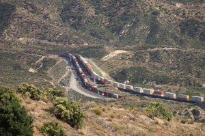 |
| both trains are long enough to cover . . - 2685 | . . the distance of 2.2 mls (3,5 km) . . - 2686 | . . between Hill 582 and Silverwood - 2687 |
 |
 |
 |
| 2688 | 2689 | 2691 |
 |
 |
 |
| 2692 | train 5 has 2 helpers and train 4 none - 2693 | 2694 |
 |
 |
 |
| 2695 | DPU's of train 5 - 2696 | 2697 |
 |
 |
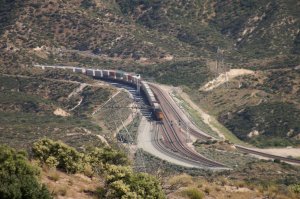 |
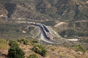
| both trains are rolling into Summit - 2698 | end of Train 4 (right) + Train 5 at WSI (left) - 2699 | last photo of Train 5 - 2701 |
| Well, the show is over and I was satisfied. So, I left this overlook and drove down USFS 3N45 toward Silverwood. | ||
Silverwood Overlook
|
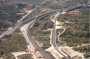
These aerial views and the map will show the situation at Silverwood. On
photo 1953 my position (overlook) is just at the right corner below, near
BNSF MT-3. It can easy be reached from USFS 3N45. |
||
 |
 |
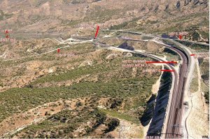 |
| from the air Silverwood MP 57.2 1953 | Map overview Silverwood MP - 1951 | from the air West Summit Island MP 56.7 1952 |
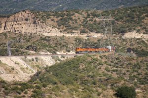
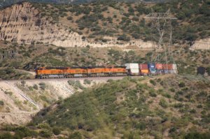
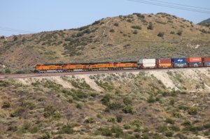
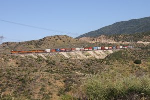
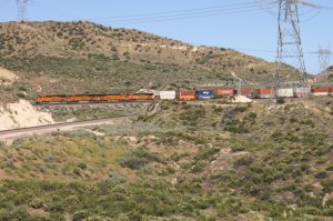
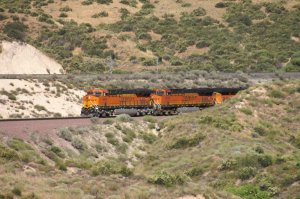
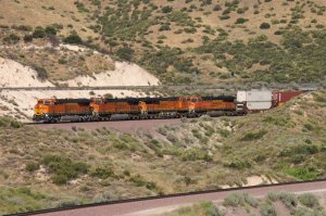
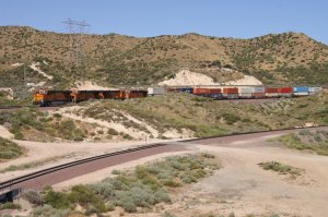
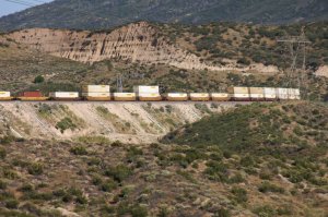
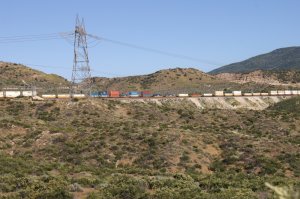
| Now, I am sitting on the Silverwood overlook above MT-3. Time is 16.46 h and the first train is a BNSF WB. | ||
 |
 |
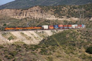 |
| WM 6/25/11 BNSF WB (Train 1) - 2704 | BNSF WB on MT-2 coming from Summit - 2705 | BNSF WB is entering Silverwood - 2707 |
 |
||
 |
 |
 |
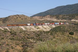
| 2709 | 2710 | 2711 |
 |
||
 |
 |
 |
| 2714 | 2715 | 2716 |
 |
 |
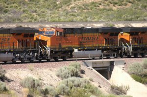 |
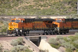
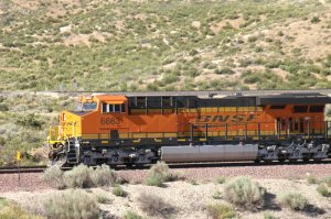
| in the foreground is BNSF MT-3 - 2717 | first engine is crossing USFS 3N45 - 2718 | BNSF 7228 = GE ES44DC - 2719 |
 |
 |
 |
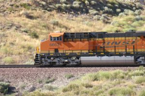
| BNSF 6663 = GE ES44C4 - 2720 | 2721 | 2722 |
 |
||
 |
 |
 |
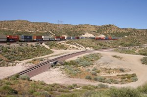
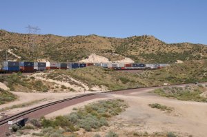
| 2724 | 2725 | last photo of Train 1 at 16.52 h - 2726 |
 |
 |
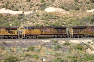 |
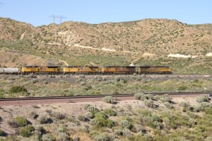
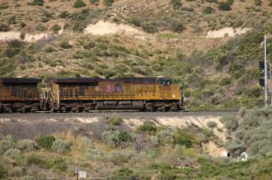
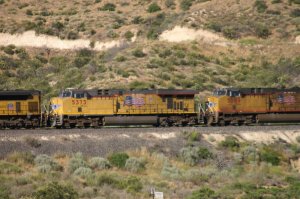
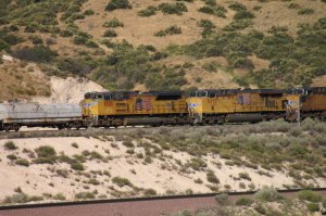
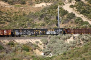
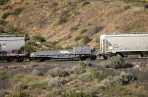
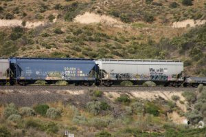
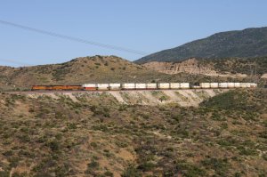
| UP NB on UPT (Train 2) at 18.22 h - 2727 | UP 5416 = GE C45ACCTE - 2728 | UP 5389 = GE C45ACCTE - 2729 |
 |
 |
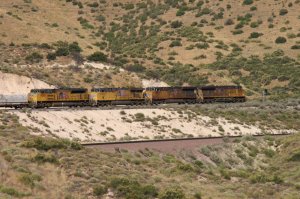 |
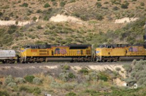
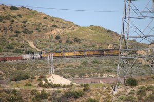
| UP 5373 = GE C45ACCTE - 2730 | UP 8588 = EMD SD70ACe - 2731 | below the 4 UP locos is BNSF MT-1/MT- 2 - 2732 |
 |
 |
 |
| 2733 | 2734 | 2735 |
 |
 |
 |
| 2736 | 2737 | 2738 |
 |
 |
 |
| 2739 | 2740 | 2741 |
 |
 |
 |
| overview from my lookout platform - 2742 | 2743 | 2744 |
|
There
is a short story with the bush at the right side of photo 2742. I almost
missed a WB train because it was not loud as it was coming downhill. So, I
was running against the bush to take a photo. But oh wonder, there was a
rattle snake just at the edge of the bush and made a lot of noise and was
even standing up. Well, I immediately stopped and stepped back. Do not ask
me how hard my heart was beating. Thanks God the rattler was warning me
before attacking. In other words, just be always prepared and take precaution while doing railfanning in Cajon Pass !! |
||
 |
 |
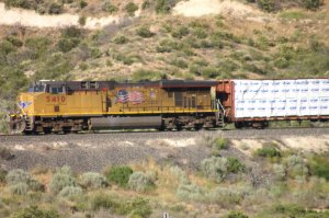 |
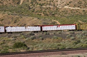
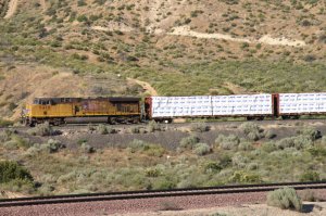
| 2745 | DPU UP 5410 = GE C45ACCTE - 2746 | UP Train 2 - 2747 |
 |
 |
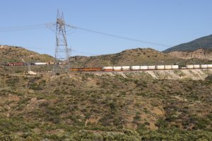 |
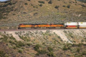
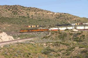
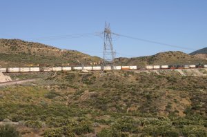
| BNSF WB (Train 3) - 2749 | 2750 | UP Train 2 and BNSF Train 3 - 2751 |
 |
||
 |
 |
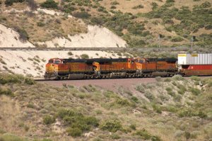 |
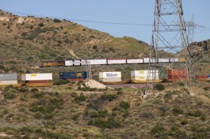
| 2753 | 2754 | 2755 |
 |
 |
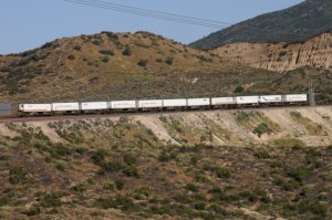 |
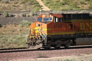
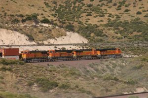
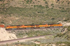
| last photo of Train 2 - 2756 | BNSF 4792 = GE C44-9W - 2757 | last photo of Train 3 (BNSF WB) - 2759 |
 |
 |
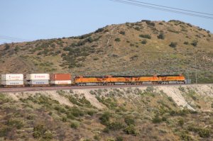 |
| BNSF EB (Train 4) at 17.36 h - 2760 | 2761 | 2762 |
 |
||
| I did not wait until the whole train passed because it was once again just another double stack intermodal train. So, I left the Silverwood area, went back to Hwy 138 and drove down to the Mormon Rocks area. | ||
Highway 138 - Mormon Rocks
 |
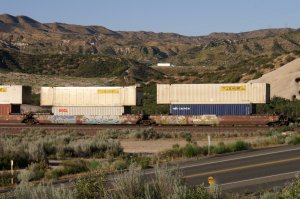
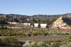
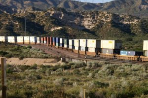
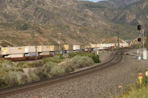
The overlook of the UPT (Union Pacifc Track) is easy to reach using Hwy 138 from I-15 intersection. Drive Hwy 138 West over BNSF MT-3 and BNSF MT-1/MT-2 and under UPT, just after the underpass make a left turn into Lone Pine Canyon Road uphill and turn again left (dirt road) which runs parallel to the UPT. It is the service road for UP but also a US Forest Service Road (USFS 2N89). If we continue following this road, it will lead us to Sullivans Curve. Best time of the day is late afternoon/early evening as we have the sun in the back. |
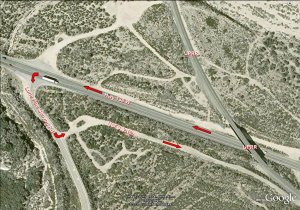 |
| Overview Hwy 138/I-15 and UPT - 1182 | Lone Pine Canyon Road Detail - 1183 |
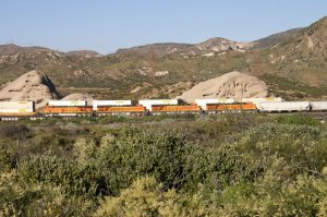
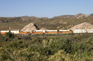
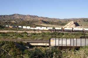
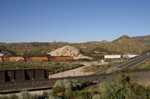
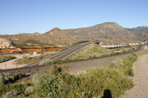
| If you do not know where to go in early evening, this is a great spot (lighted from the evening sun) just along the Union Pacific tracks. Use USFS 2N89 which is also the service road for UP. We can also see BNSF MT-1 and MT-2. I start on this location at 18.49 h and have already luck because there are 2 different BNSF trains passing the Mormon Rocks | ||
 |
 |
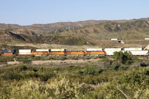 |
| WM 6/25/11 BNSF EB (Train 1) on MT-1 - 2764 | BNSF WB (Train 2) on MT-2 (behind) - 2765 | 2 BNSF trains at the same time - 2766 |
 |
||
 |
 |
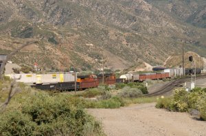 |
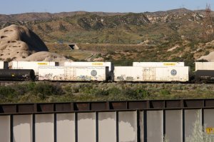
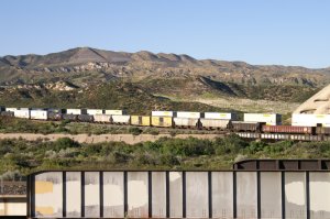
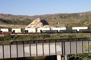
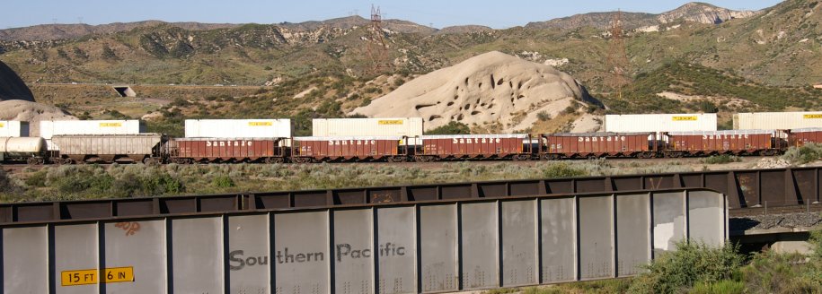
| EB train 1 is a manifest - 2768 | view looking left of Hwy 138 - 2769 | right of Hwy 138 are the 3 locos of Train 2 - 2770 |
 |
 |
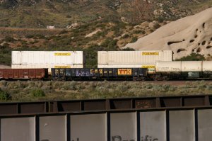 |
| 2771 | 2772 | 2773 |
 |
||
 |
 |
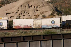 |
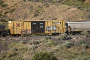
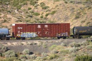
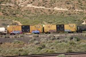
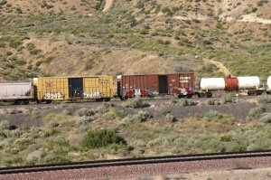
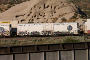
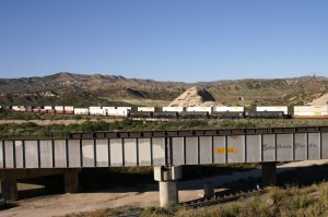
| modern 64' reefer with graffity - 2775 | these reefers are on the EB train 1 - 2776 | 2777 |
 |
 |
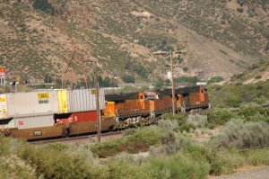 |
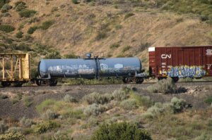
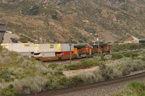
| 5 tank cars are the EOT 1 - 2778 | double stack cars elomg to train 2 - 2779 | the locos are proceeding slowly - 2780 |
 |
 |
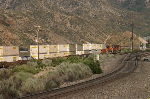 |
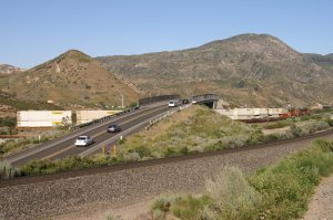
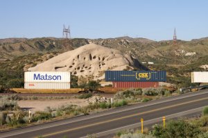
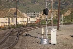
| 2781 | Highway 138 goes over BNSF tracks - 2782 | track in front = UPT - 2783 |
 |
||
 |
 |
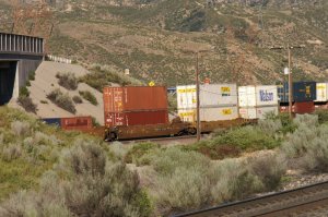 |
| 2785 | begin of UP siding toward Sullivans Curve - 2786 | 2787 |
 |
 |
 |
| 2788 | 2789 | 2790 |
 |
 |
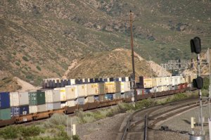 |
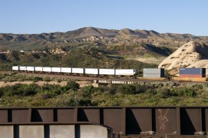
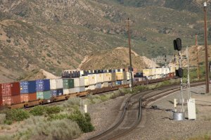
| 2791 | at the end are some TOFC's - 2792 | endless string of DBS cars - 2793 |
 |
 |
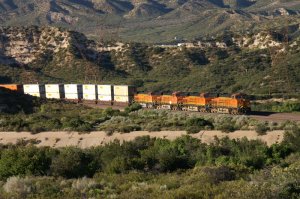 |
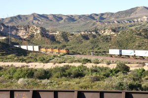
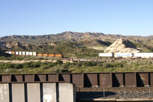
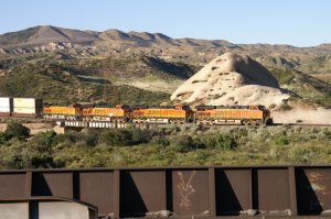
| heading for Sukllivans Curve - 2794 | here comes BNSF WB on MT-1 (Train 3) - 2795 | 2796 |
 |
 |
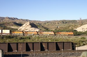 |
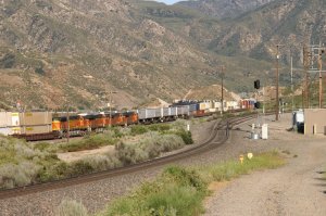
| front end of Train 3 and rear end of T-2 - 2797 | 2798 | 2799 |
 |
 |
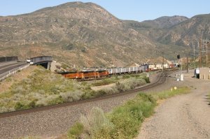 |
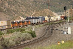
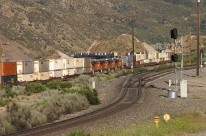
| both trains are visible - 2800 | 2801 | 2802 |
 |
 |
 |
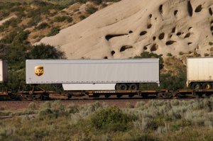
| now, train 3 is slowly overtaking . . - 2803 | . . train 2 toward Sullivans Curve - 2804 | 2805 |
 |
 |
 |
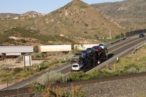
| 2806 | auto carrier on Hwy 138 - 2807 | 2808 |
 |
 |
 |
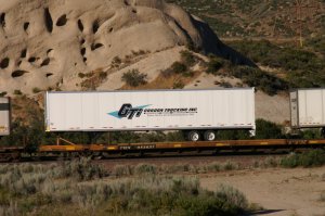
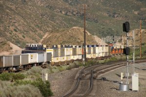
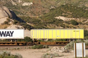
| this intermodal (Train 3) is having . . - 2809 | . . several trailers behind the . . - 2810 | . . container cars - 2811 |
 |
 |
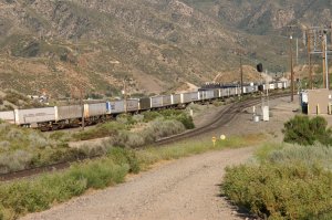 |
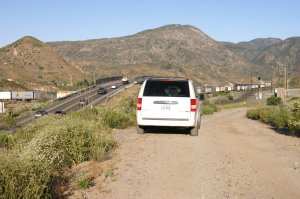
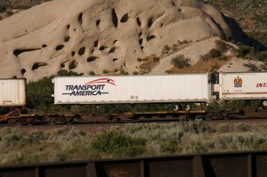
| my minivan brings me everywhere - 2812 | 2813 | last photo of day 4 at 19.10 h - 2814 |
| Even I started railfanning late, day 4 was once again very satisfactory and I went to Denny's at Palm Ave. for dinner. | ||
Did you see page 1 of 2011?: Day ONE
 |
Cajon Pass -
2011 Day ONE Cleghorn Overlook Hill 582 (1) Highway 138 / Mormon Rocks by Werner Meer June 22, 2011 Updated: 7/28/2011 |
 |
| WM 6/22/11 UP NB on UPT near Hill 582 - 1219 | See all 522 photos - click here | WM 6/22/11 UP SB on UPT (Mormon Rocks) - 1422 |
Did you see page 2 of 2011?: Day TWE
 |
Cajon Pass -
2011 Day TWO Cleghorn Exit Overlook I-15 / Hwy 138 Overlook by Werner Meer June 23, 2011 Updated: 8/15/11 |
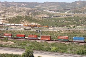 |
| WM 6/23/11 Sullivans Curve from Cleghorn - 1779 | See all 600 photos - click here | WM 6/23/11 3 trains around I-15/Hwy 138 - 11074 |
Did you see page 3 of 2011?: Day THREE
 |
Cajon Pass -
2011 Day THREE Hill 582 (2) Noisy Point / I-15 Overlook / Alray Blue Cut / UP MP 475 by Werner Meer June 24, 2011 Updated: 9/15/13 |
 |
| WM 6/24/11 BNSF EB Noisy Point w/I-15 - 2328 | See all 481 photos - click here | WM 6/24/11 BNSF EB at Blue Cut - 2475 |
Did you see page 5 of 2011?: Day FIVE
 |
Cajon Pass -
2011 Day FIVE Silverwood Summit (North) Silverwood Overlook (South) CP Walker MP 60.2X Highway 138 / Mormon Rocks by Werner Meer June 26, 2011 Updated: 9/28/13 |
 |
| WM 6/26/11 BNSF WB on MT-3 - 21080 | See all 358 photos - click here | WM 6/26/11 Locos at Silverwood - 2849 |
Did you see page 6 of 2011?: Day SIX
 |
Cajon Pass -
2011 Day SIX Hill 582 (3) Summit high above (Summit - Cleghorn) Sullivans Curve by Werner Meer June 27, 2011 Updated: 10/03/13 |
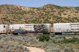 |
| WM 6/27/11 BNSF 121 = EMD GP60M - 30029 | See all 359 photos - click here | WM 6/27/11 huge Graffiti on 64' Reefer - 30071 |
Below are photos taken from the air on
June 2, 2010. Even there was not a single train in the Pass during our flight,
it
still gives an idea about the different locations. We also recommend to see
our 8 diff. maps by Gary Gray (see below).
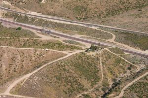 |
Cajon Pass Aerial Photos 2010 by Werner Meer June 2, 2010 Updated: 7/08/2010 |
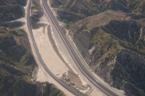 |
| WM 6/02/10 Hill 582, BNSF MT-2/-1, UPT - 4033 | See all 150 photos - click here | WM 6/02/10 Tunnel 1 shotcrete retaining wall - 4082 |
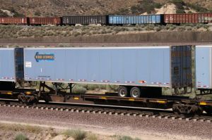 |
Werner
Enterprises Trucking Company WE Trailers are often seen on Flat Cars (TOFC) running over Cajon Pass. In addition, there are photos of WE Trucks on the road and new: take a look at the WE Terminal in Fontana, CA. by Werner Meer most were taken in 10/05, 7/08, 5/10 and 6/11 Updated: 8/01/11 |
 |
| WM 7/05/08 Cajon at Silverwood - 010 | See all 237 photos - click here | WM 10/05 Barstow Truck Stop - 032 |
Here you find some maps and more infos about Cajon Pass and the Tunnels, which are gone:
|
8 different and detailed Maps of Cajon Pass with
captions (Mile Posts and Location) by Gary G. Gray - click
here New 8/11: Maps "How to find" Hill 582, Sullivan's Curve, Noisy Point by Gary G. Gray - click here |
| Accurate Map of Cajon Pass with 3rd Main Track by Michael Amrine - click here |
Simple Maps about Cajon Pass: click
here
Railfan Map of Cajon Pass by Joe Perry: http://www.chasingsteel.com/storage/RailfanMapofCajon%20Pass.pdf
Map of Cajon Area (Inland Empire): http://www.visitcalifornia.de/media/pages/getting_around/maps/INLAND-EMPIRE.pdf
Cajon Pass Map by Wikimapia (easy to enlarge every location): http://wikimapia.org/#lat=34.3223857&lon=-117.4707127&z=14&l=0&m=s&v=9
Here are photos of the 2 tunnels before construction started:
click here
Go back to my Cajon Pass 2011 Photo Collection Main Page -
click here
Go back to Cajon Pass Main Page - click here